• Social Studies, Grade 2
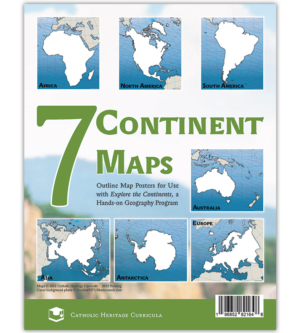
    Poster-sized outline maps of the continents, specially designed to accompany Explore the Continents. Each of the seven maps unfolds from 8.5" x 11" to 22" x 25.5".
  • Social Studies, Grade 3
    Detailed map of the world, specially designed to accompany Tour a Country, a hands-on geography program. The back of the map lists every nation with its flag, area, population, and government type. An amazing amount of information on one piece of paper!
  • Map Skills, Grade 2
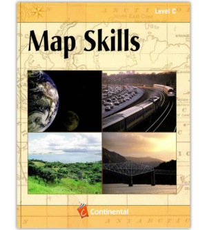
    This fun, full-color workbook uses short lessons to teach the student how to read and use maps.

    Answer Key

    $6.50

    Workbook

    $13.25
  • Map Skills, Grade 3
    This fun, full-color workbook uses short lessons to teach the student how to read and use maps.

    Answer Key

    $6.50

    Workbook

    $13.25
  • Map Skills, Grade 4
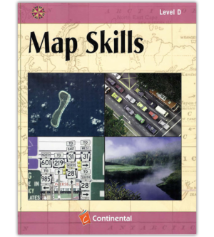
    This fun, full-color workbook uses short lessons to teach the student how to read and use maps.

    Answer Key

    $6.50

    Workbook

    $13.25
  • Map Skills, Grade 5
    This fun, full-color workbook uses short lessons to teach the student how to read and use maps.

    Answer Key

    $6.50

    Workbook

    $13.25
  • Map Skills, Grade 6
    This fun, full-color workbook uses short lessons to teach the student how to read and use maps.

    Workbook

    $13.25

    Answer Key

    $6.50
  • Map Skills, Grade 7
    This fun, full-color workbook uses short lessons to teach the student how to read and use maps.

    Answer Key

    $6.50

    Workbook

    $13.25