
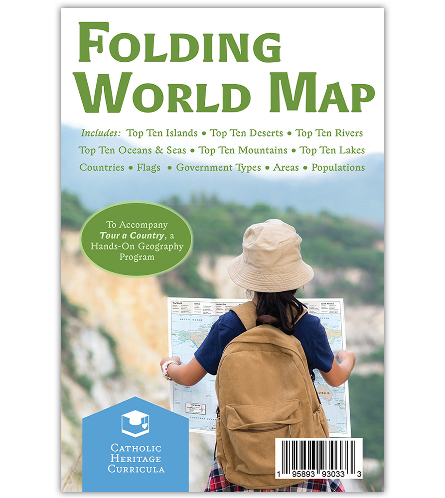
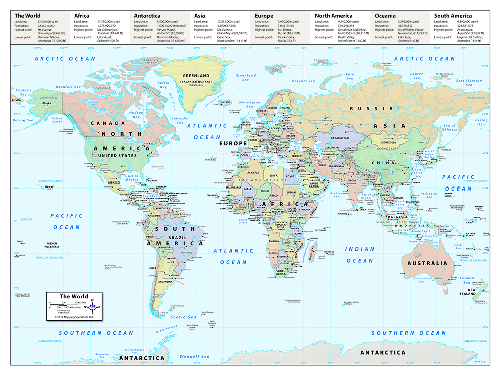

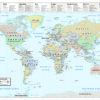
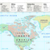

This detailed, colorful map of the world is a handy reference tool full of useful, up-to-date information. Features:
- country borders
- capital cities
- latitude and longitude lines
- major mountains, seas, and rivers
- Unfolds from 6″×9″ to 24″×18″
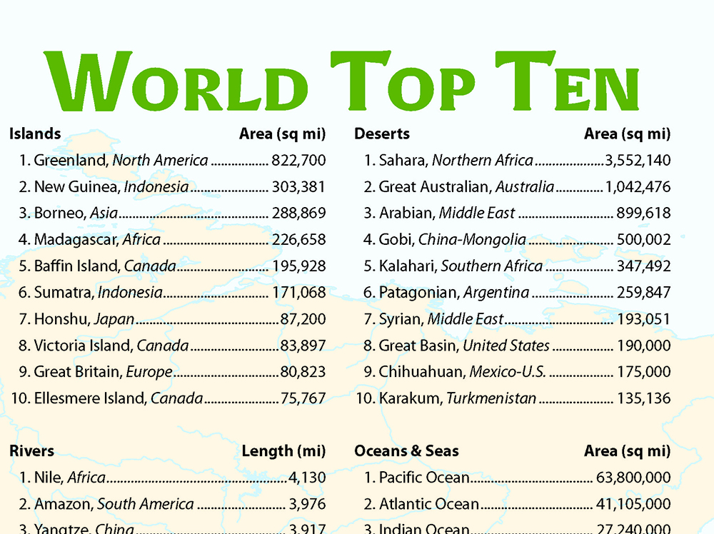
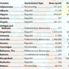
The back of the map fits an amazing amount of information on one fold-out sheet of paper, listing the world’s top 10:
- Islands
- Rivers
- Mountains
- Deserts
- Oceans & Seas
- Lakes
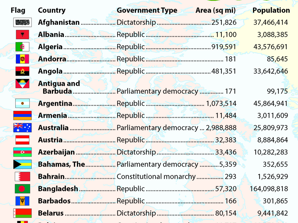
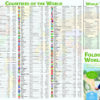
For each country, the back of Folding World Map lists:
- Flag
- Government Type
- Area
- Population
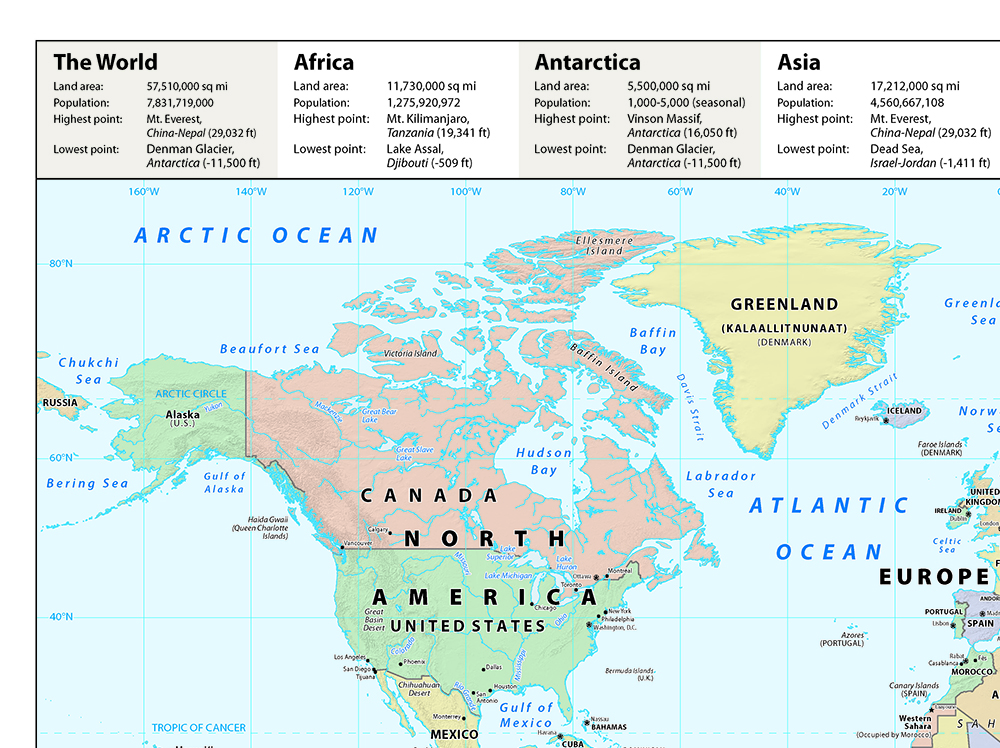
For each continent, the back of Folding World Map lists:
- Land Area
- Population
- Highest Point
- Lowest Point
Updated regularly!
Product Code: FWM
Format: Folded
Page Count: 1 double-sided map
Dimensions: 6″×9″ (unfolds to 24″×18″)
Returnable? No, view return policy.
Consumable? Yes, purchase one per student.
Answer key: None required.
Related Products
If you like the featured item on this page, you might be interested in the related materials below.


More Products for This Grade Level
If you like the featured item on this page, you might be interested in other items for the same grade level.


